Contact us
Discover how SAR data and space systems can help your organization achieve mission success. Reach out to our experts today.

Technology
Packed with advances in material science, computing, and sensing methodology, our approach to space hardware development redefines aerospace traditions.
Our satellites incorporate the latest in software-defined architecture, allowing built-for-purpose hardware to maximize value to our fleet and yours. Beyond miniaturizing form factors while increasing overall performance, our primary focus is generational production. Our industry leading manufacturing cadence optimizes unit economics and provides build-schedule confidence. We have a history of step-function capability improvements every 18 months, allowing for data and space systems customers to take advantage of class-leading high frequency innovation.
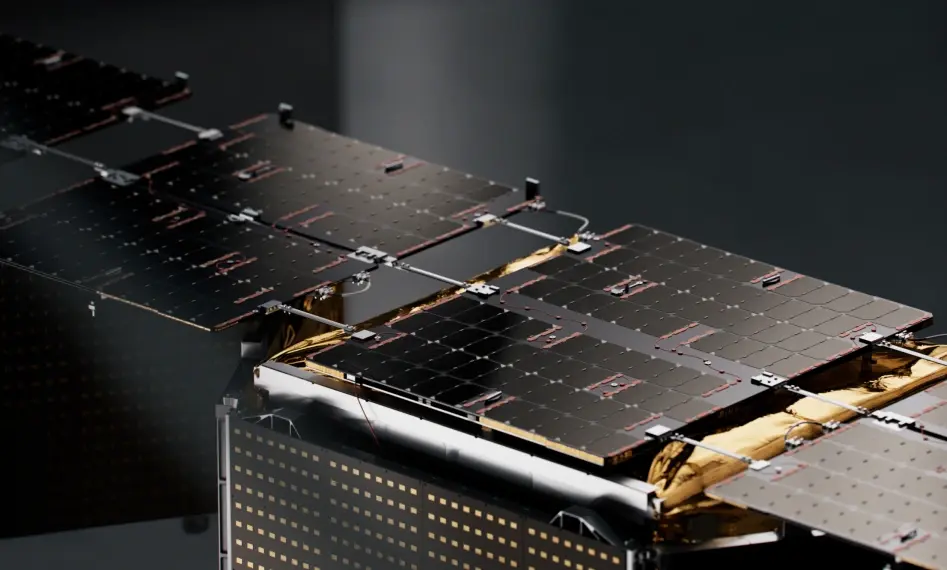
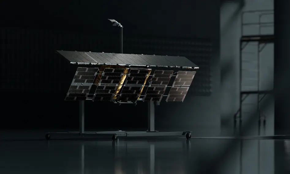
Our phased-array satellite is the source of radical flexibility for remote sensing applications. From observing large areas in a single overflight to focusing energy on a specific site of interest with ultra high resolution, our satellite is built around our sensor to provide end users with the right tools for the job.
, communication-S-/X-Band, downlink-X-band 500 Megabits with encryption")
Our unique antenna is an electronically steered phased array that can be controlled to enable a range of imaging modes for demanding operational needs. You can monitor the globe during the day, at night, and even through clouds, smoke, sand storms, and fog.
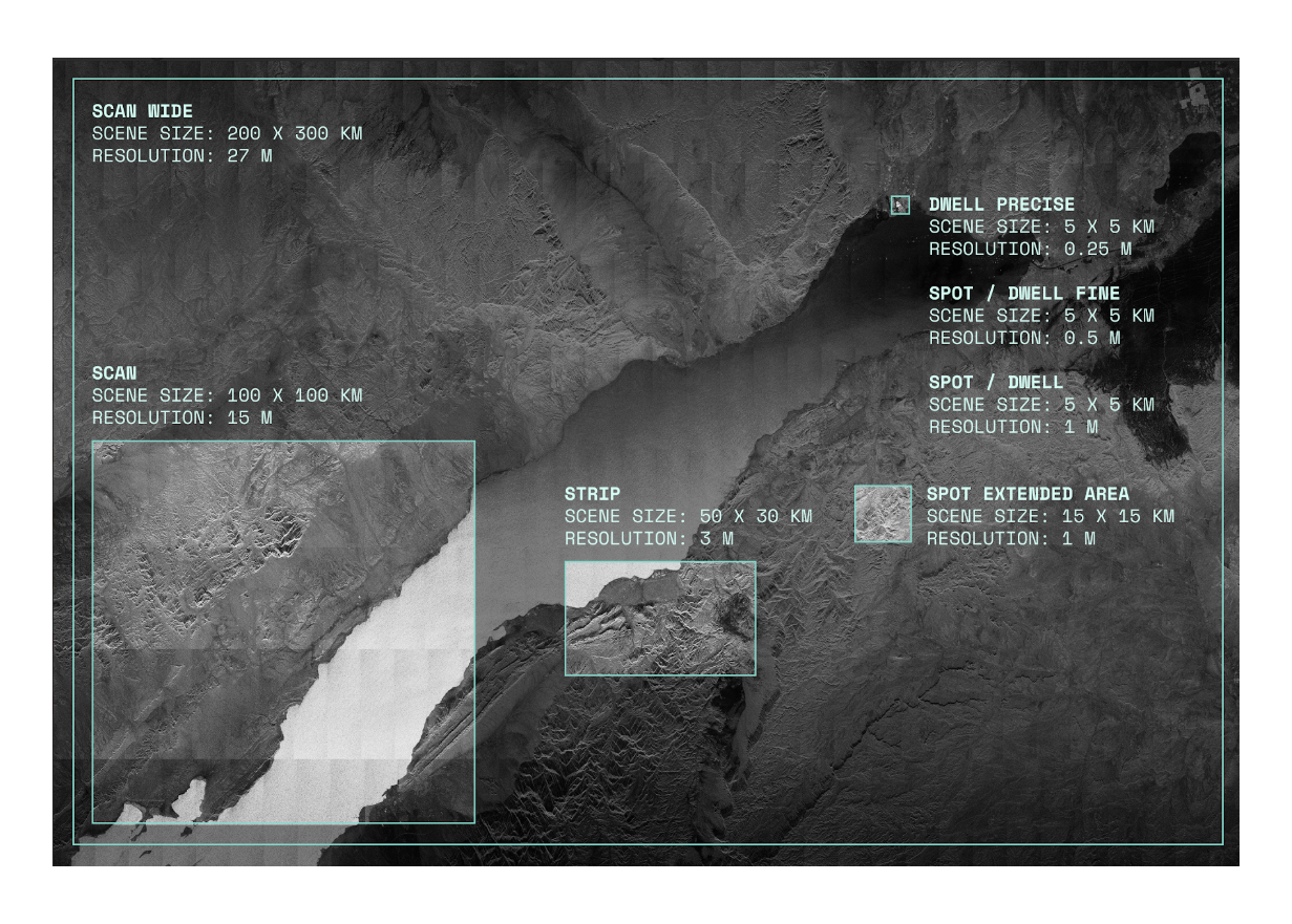
Down to 25 cm resolution. Up to 120,000 km² scene size.

By proliferating our satellite production, we have deployed over 50 satellites in the past 5 years from factories on two continents. Operating a constellation of such size has required leaps in automation, which today allow us to maintain near continuous visibility over any location on Earth. Our data customers experience persistent monitoring through multiple daily passes over critical areas, enabling high-quality change detection and rapid response to evolving situations.
Enhanced Capability
Achieving highly accurate orbits with small satellites is a challenge only explored by modern aerospace engineers. Our engineers have solved for such accurate orbits, allowing for coincident collection geometry over certain locations on earth on a repeating basis. In an age of Artificial Intelligence, such a capability vastly simplifies change detection, unlocking new applications in infrastructure monitoring, geology, and economic tracking on a global basis.
Enhanced Capability
Maximize mission efficiency through our advanced Multi-Imaging Activities (MIA) capability that enables collection of multiple high-resolution images across separate areas of interest during a single satellite pass. ICEYE US delivers unprecedented operational flexibility by combining mechanical satellite pointing with electronic beam steering to acquire any combination of Spot, Spot Fine, and Dwell mode images within one acquisition maneuver, dramatically reducing collection time and increasing mission responsiveness for complex intelligence requirements.
Enhanced Capability
Accelerate mission-critical operations through our integrated Tactical Access suite that combines flexible time booking, customer-controlled processing, and direct downlink capabilities to mobile targets. ICEYE US delivers unprecedented operational autonomy by enabling customers to reserve satellite windows in advance, process imagery using provided hardware and software systems, and receive direct data transmission to land, sea, or airborne platforms—compressing traditional satellite-to-decision timelines from days to minutes for time-sensitive intelligence and operational requirements.