Contact us
Discover how SAR data and space systems can help your organization achieve mission success. Reach out to our experts today.

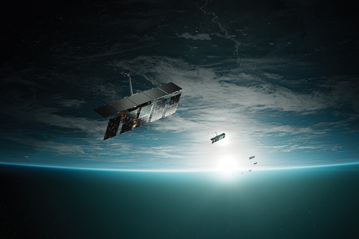
SAR Data
Our constellation of radar imaging satellites delivers unprecedented access to accurate information about any location on Earth – every few hours, day or night, regardless of weather or light conditions.
Customers say we’re the most reliable provider in the industry. As a proxy for integrity, our investments are constantly focused on ensuring end users receive SAR data products when, where and how we have committed to providing them.
Our industry-leading revisit rates are a function of our industry-defining production and launch rates. Our radar sensing satellites fly over any location on Earth multiple times per hour.
Our class-leading resolution – under 25cm in some cases – is powered by our proprietary data processing techniques, allowing customers unparalleled clarity as to otherwise imperceptible changes on Earth’s surface.
From ulta-high resolution to products collecting data from over 100,000 square kilometers at once, our offerings provide customers with the right tools for any project.
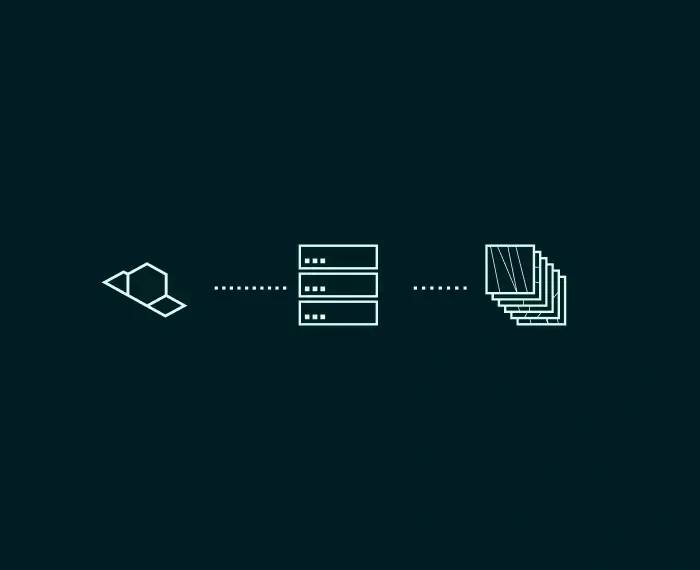
Our space and ground systems work in harmony to support time-critical use cases, with product deliveries possible minutes after collection.
Our satellites never sleep and neither does our customer service organization. Our team is standing by 24/7/365 to provide expert help.
Dwell modes extract unmatched information from a single, long duration radar imaging event. See every detail in incredible clarity with enhanced image quality, reduced noise, and outputs that highlight man-made features from those occurring naturally. Dwell Precise, the industry’s highest fidelity 25cm imaging product, is the latest addition to our Dwell family.
Spot modes enable very high resolution – up to 50cm – combined with the largest available scene size for detailed monitoring. Customers use Spot modes for high acuity object identification and site monitoring.
Strip is a versatile workhorse, perfect for detecting changes to large sea and land areas. Customers often use Strip mode to understand and respond to natural disasters, illegal activities, and to persistently monitor borders, coastal regions, and waterways and infrastructure.
Scan mode leverages maximum mechanical and electronic capabilities of our satellites. This mode is particularly adept at applying vast area coverage to maritime domain awareness, natural resource management, and gross topographical change detection like land subsidence.

Talk to our award winning team available 24/7.
Integrate your existing systems with the ICEYE US API to automate tasking.

Persistent insights, delivered instantly.
Sign up for ICEYE US Direct and access a streamlined path from data to decision. Clear, unfiltered insights delivered instantly.
Actionable intelligence through all-weather, day-night synthetic aperture radar observations reveal what optical sensors miss, delivering persistent monitoring capabilities designed to meet unique mission requirements. Find out more about our product specifications.
