API platform mobile hero C plain

SAR Data APIs

Our satellite fleet at your fingertips

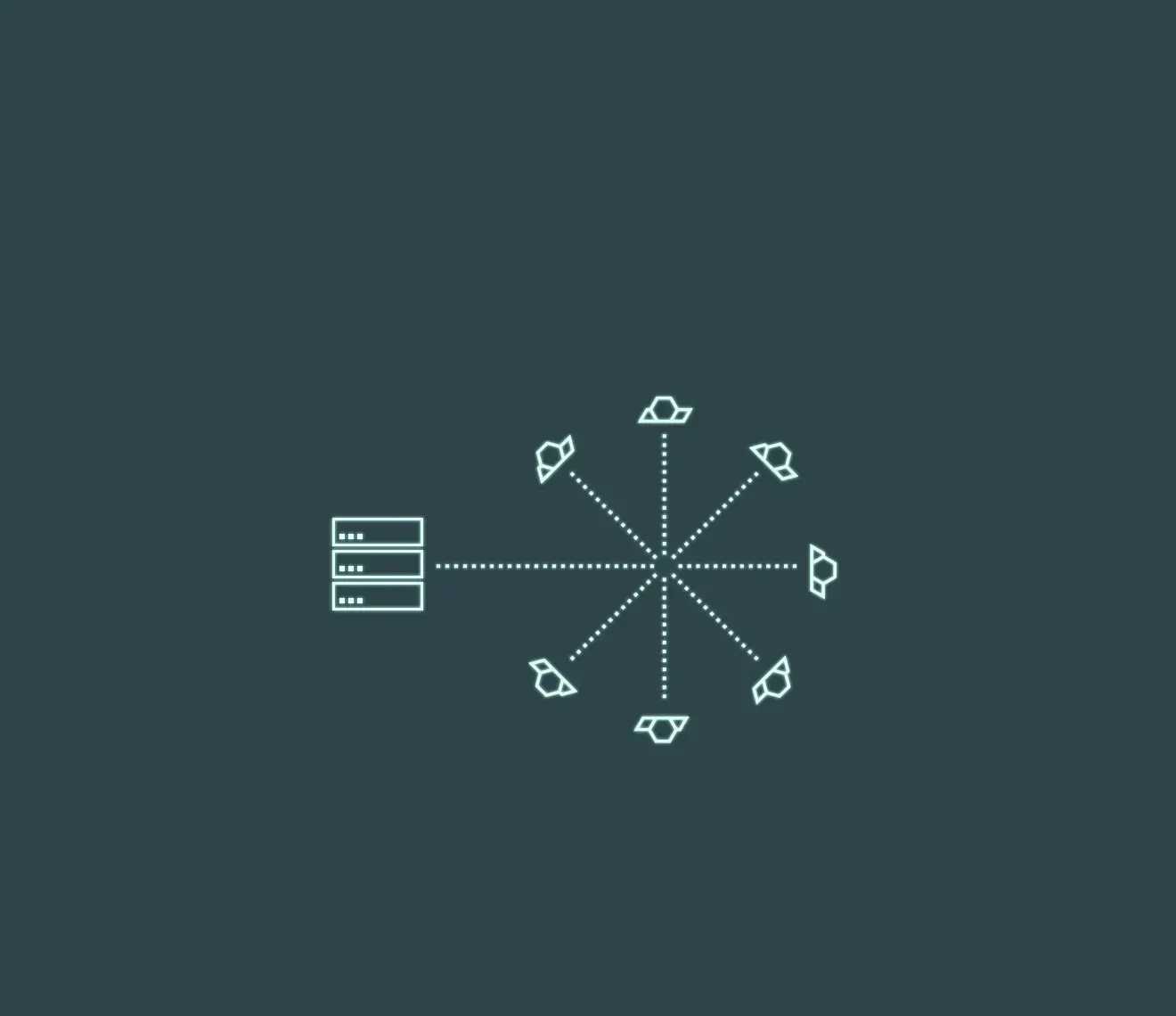
Automate SAR imagery tasking, status information, and delivery with the ICEYE US API suite.

Direct access to the world’s largest commercial SAR constellation

Our API suite offers direct and secure access to the data collected from ICEYE’s expanding fleet of radar sensing satellites. With no manual intervention to slow you down, you can request and receive rich geospatial data needed to meet mission requirements.

The APIs provide a basis for automated, scalable workflows by streamlining satellite tasking, information status, and delivery processes. Monitoring sites and regions of interest can thus become a background operation enabling end users to focus on analysis and intelligence production.  Our APIs have been used to set up ‘tip and cue’ concepts, whereby our sensors, having revealed certain activities or patterns on Earth’s surface, inform downstream operations to include future collections.

Integrating SAR datasets is most efficient using our APIs. With embedded contractual information, customers can track expenditures and plan for future capacity while accessing tens of thousands of archived SAR images thanks to our automated processes.

ICEYE US API Suite

The ICEYE US API suite is your point of integration into our space and ground architecture. The Tasking API is the integration point for your ordering and delivery systems and lets you schedule collections on our satellite fleet. The Catalog API automates the process of requesting SAR data from our archive.

Start your integration here

Read our integration and API specification steps and get off to a flying start.

Quick links

Commonly used services

contract_resource

Contracts

Your ICEYE US contract defines the level of service and regulates the tasking options made available.

authetication

Authentication and access

Get authentication to access the ICEYE US fleet through the API suite.

first_request

Send your first request

Obtain the access token and send your first request.

single_step

One-step tasking

Create a one-step tasking flow for your client.

tasking_status

Tasking status

Customers can poll the Tasking API for their latest task status.

catalogue

SAR catalog

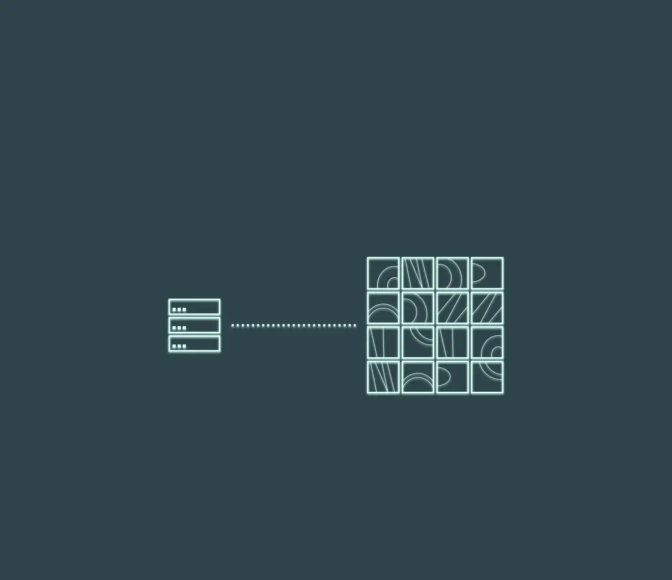
Search results in the ICEYE SAR image archive are returned as a list of STAC items, which can be parsed by any standard STAC library. New images are added daily.

API integration case study

Monitor the Amazon rainforest

SAR satellite imagery is ideal for monitoring challenging regions such as the Amazon rainforest. Cloudy conditions are not a limitation, vast areas can be observed in a single image, and, thanks to the large fleet, satellite revisit rates are high.

How would you use the ICEYE US API suite to implement a rainforest monitoring project? Get practical steps for tasking the ICEYE US fleet with the ICEYE US Tasking API.

ICEYE Scan Amazon

1. Build a flexible repeat-tasking client.

See how our APIs can neatly integrate into your UI with a sample case study.

2. Plan a weekly image tasking strategy.

Choose a weekly image tasking strategy to optimize the area that you can monitor.

3. Prepare for out-of-band image tasking.

Have the option to create imaging tasks that are not a part of your weekly pattern.

Security and data protection

SAR data service security

ICEYE US has an ISO/IEC 27001 Information Security Management System (ISMS) certification and meets or exceeds NIST 800-171 cybersecurity protocols. Sensitive information is protected in ICEYE US ground and space segments by encryption in transit and at rest. ICEYE US has a multitude of operational security controls to ensure confidentiality, integrity, and availability of information. Sensitive customer information such as identities, personal information, image orders, and private image products are protected.

Want to know more?

Discover how SAR data and space systems can help your organization achieve mission success. Reach out to our experts today.